Engineering Survey
GEO Ingenieurservice Group is one of the leading companies for engineering surveying in Germany. We ensure short term availability and in-time execution with qualified personnel and high-performance equipment presenting results within mm-accuracy. We are available for daily operations as well as for demanding largescale projects during the whole construction period.
Fields of application (civil engineering)
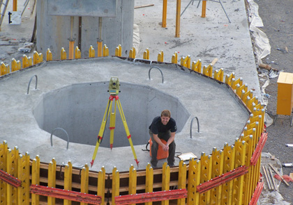
Engineering construction (steel + concrete): buildings, bridges, roads, earth works, tunnels
Hydraulic engineering: flood + coastal protection, dyke + culvert construction, port + waterways, spoil grounds
Industrial + offshore installations: crane rail tracks, disposal sites, wind farms + platforms
range of services
- AS-BUILT SURVEYING
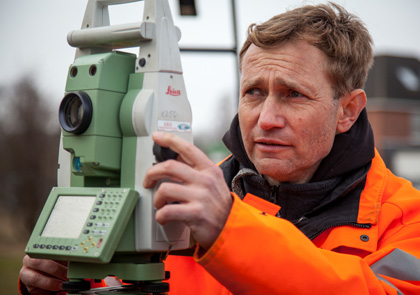
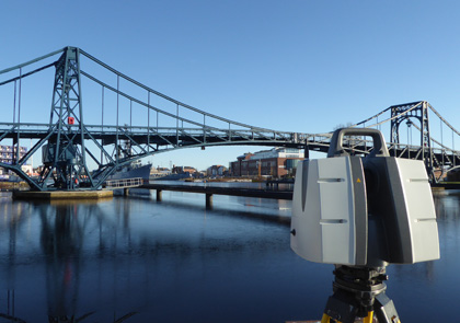
Depending on site and requirements, we use different survey equipment such as GNSS-receiver, total stations, 3D laser scanner or drones. The resulting chart contains all present topographic details and structural conditions. - STAKE OUT SURVEY
Based on construction planning and charts, GEO stakes out all measurement points and benchmarks for the client, whether high precision for industrial installations or for basic earthworks. - VOLUME CALCULATIONS
During the whole construction period, GEO supports the customer in project accounting and volume calculations. GEO carries out all relevant measurements. The determined quantities are provided on time and in conformity with the regulations for electronic quantity calculations (REB). - MONITORING AND DEFORMATION ANALYSIS
For monitoring of any kind of construction, we conduct high precision measurements and deformation analysis. We offer permanent automatic long-term monitoring including event reporting to the customer.
Survey equipment
- High precision total station, digital level, GNSS-receiver
- 3D laser scanner, drone for photogrammetry, inclinometer


 Deutsch
  Polski

